Project Details
The Magino Gold Project, now owned by Alamos Gold, is a large-scale open-pit mining operation in northern Ontario. With an estimated 63.3 million tonnes of proven and probable reserves at an average gold grade of 1.16 g/t (approximately 2.36 million ounces of contained gold), the mine is positioned as a major contributor to gold production in the region, with operations expected to extend through 2041.
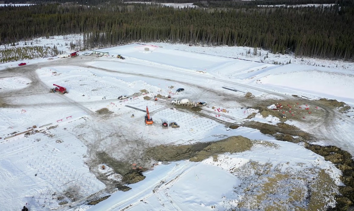
Inline played a central role in the development of the Magino site, providing full-service survey, UAV, and construction support throughout the project. Our team designed and laid out more than 25,000 drill and blast holes across haul roads, creek diversions, plant sites, borrow sources, and pit development. Customized blast patterns were developed to match material requirements and blaster preferences, while strict safety protocols were implemented, including blast radius offsets and minimum drill depths. Inline also issued pre and post-blast notifications, determined subdrill lengths, and tracked excavation volumes to maintain accuracy and safety standards.
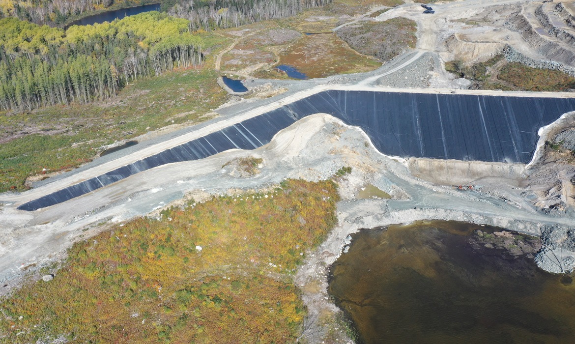
In addition to drill and blast operations, Inline supported earthworks and infrastructure construction, delivering survey design, layout, and as-built services for Water Quality Control Ponds and over 6 km of Tailings Management Facilities (TMF) built with more than 2 million cubic metres of material. Our crews also executed surveys for dams, collection ditches, tailings and reclaim corridors, and other essential infrastructure across the site.
Comprehensive data management and quality control formed a key part of our work, with Inline producing detailed drill and blast packages, drillers’ instructions, and blast zone buffer plans. We also prepared volume and quantity tracking reports, payment-ready drill length reports, and performed ongoing quality control verification. On and off-site AutoCAD support ensured seamless design integration and real-time updates. Complementing these efforts, our UAV specialists conducted aerial mapping, progress photography, and video documentation, providing critical visualization for project tracking and client reporting.
Services Executed
- Survey Support, Layouts & As-Builts
- On-Site Quality Control
- Volume & Quantities Tracking
- UAV Mapping, Photos & Videos
- Blast Zone Buffer Plans & Drill Packages
- Safety Planning Support for Blasting
- AutoCAD Design & Remote Support
Similar Projects
Cascade Power Plant
The Cascade Power Project is a 900-megawatt combined cycle power generation facility under construction in Yellowhead County, Alberta, located roughly 12 kilometres southwest of Edson.
Eureka Base Modernization
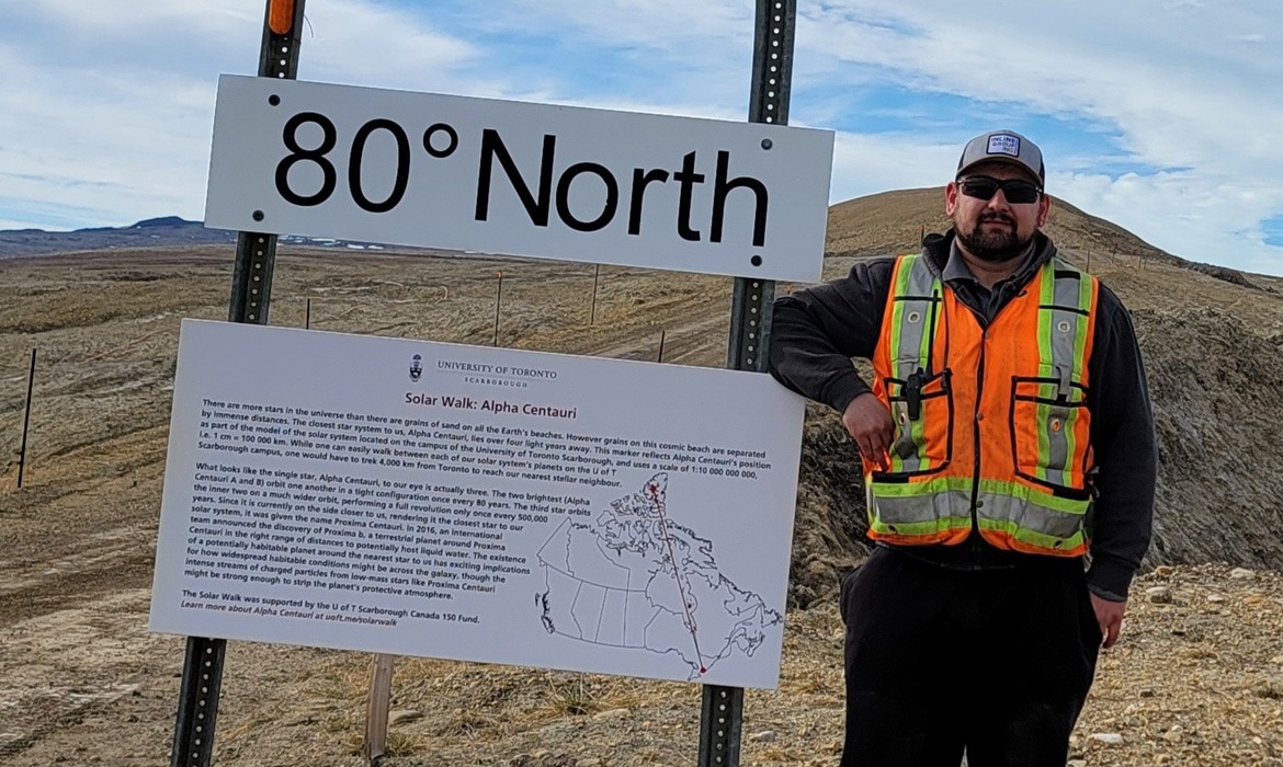
The Eureka Weather Station and Research Base, located on Ellesmere Island near the 80th parallel, is one of the most remote and northern research communities in the world—second in Canada only to Alert, Nunavut.
Woodworth Dam Replacement Project
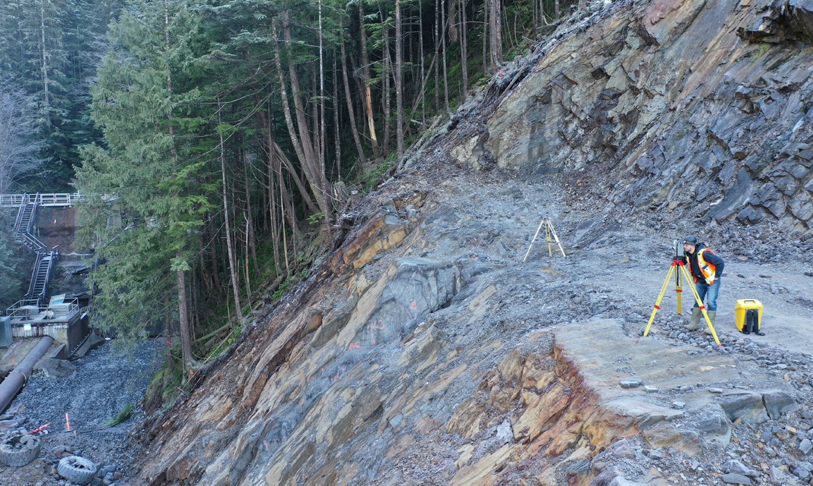
The Woodworth Dam Replacement Project is a major water infrastructure initiative undertaken by the City of Prince Rupert to replace the original dam structure built in 1912.