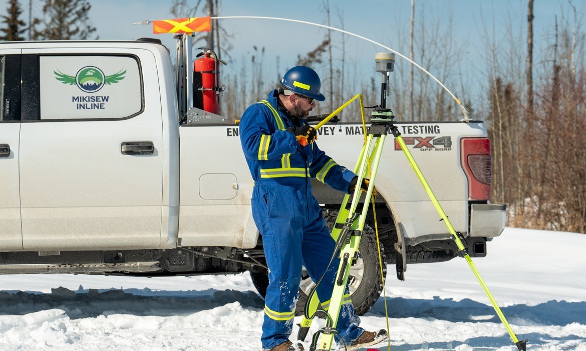
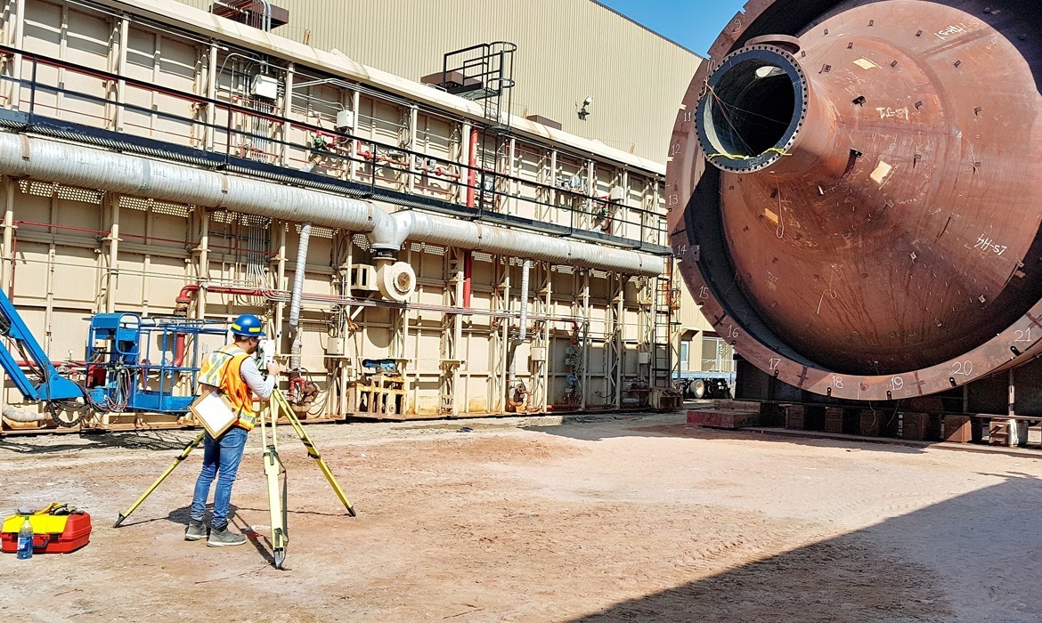
Construction Surveying
Construction surveying is essential for every project. Whether for pre-construction topographical surveys, layout for earthworks, as-built surveys, or monitoring construction progress, Inline is ready to support you with each project stage.
-
Services Include:
- Construction Staking, Layout & As-Builts
- Alignment Surveys
- Site Grading, Earthworks & Volumetric Surveys
- Tunnel & Mining Surveys
- Underground Utility Locating and Mapping
- Topographic & Site Surveys
- Precision Leveling
- Survey Control Networks
- Deformation & Settlement Monitoring
- Anchor Bolts
- Concrete Form Works
- Pile Cut-off Elevations & Cap Placements
- Machine Control Support
- Quality Assurance / Quality Control Surveys & Management
3D Laser Scanning
3D laser scanning is used to collect data quickly and accurately. This form of surveying is extremely useful when a large amount of detail is needed or when more traditional surveying methods are too dangerous, difficult, or time consuming.
Inline uses 3D laser scanners to create point clouds of data that are developed into precise 3D maps and models. Our terrestrial Leica RTC360 completes a full-dome scan in under two minutes, while capturing 2 million points per second. During each scan, it captures full HDR imagery with a 36 MP 3-camera system. Our mobile mapping unit, the NavVis VLX, scans while the user walks and captures highly detailed point clouds, which include colour and realistic texturing.
-
Services Include:
- Terrestrial and Mobile Laser Scanning
- Airborne Laser Scanning
- Point Cloud Registration and Processing
- 3D Modelling and Feature Extraction
- Construction As-Builts (Structural and Piping)
- Dimensional Control and Alignment Analysis
- Flatness and Levelness Verification
- Virtual Fit-Ups for Pre-Engineering and Clash Detection
- Deformation and Settlement Monitoring
- Virtual Tours / 360° Panoramic Walkthroughs
- Heritage or Asset Preservation Scans
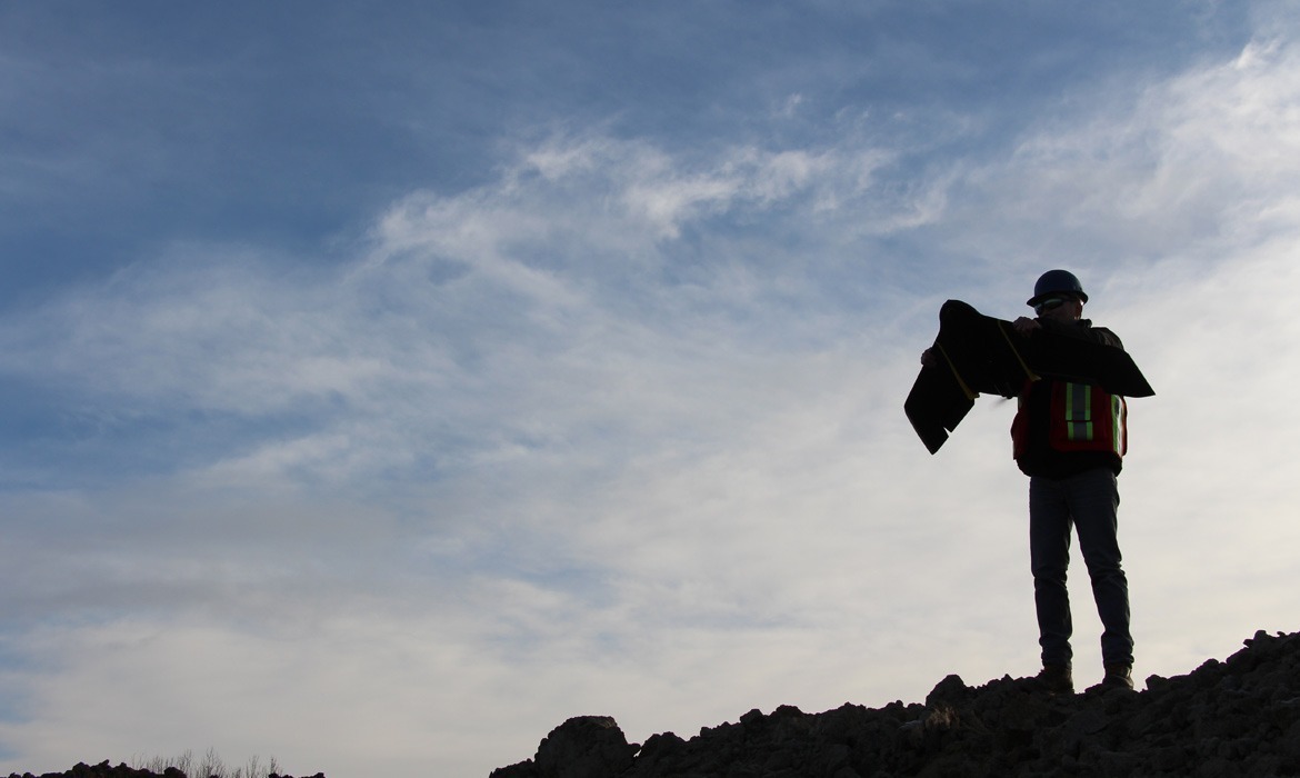
UAV
At Inline, our expert drone pilots are experienced with all Transport Canada regulations and can survey almost any type of project, pushing deliverables far beyond traditional client expectations. Inline has the ability to fly Beyond Visual Line of Sight (BVLOS). We’re also proud to have a Safety Management System (SMS), a traditional tool used in commercial aviation. As professionals in this space, we are leading the way in integrating SMS into drone operations, setting new standards for safety and professionalism.
Our drones are equipped with safety Sense and Avoid (SAA) features, infrared thermal sensors and 30x optical zoom, and can map as accurate as 3cm with 20 MP 4K cameras. RTK and Ground control points (GCPs) can also be utilized to increase vertical and horizontal accuracies to project specification. Additionally, the requested deliverables can be georeferenced to world or local grid systems.
-
Services Include:
- Inspection Photo & Video Packages
- Volume Tracking & Reconciliation
- Pre-Job Scouting/Site Assessments
- Ortho-Mosaic Mapping
- LiDAR Surveys
- Gas Detection
- Thermal Imagery
- Pit Wall & Slope Stability Monitoring
- Construction Progression & Project Update Reports
- Non-Invasive Wildlife Monitoring
- Safe & Comprehensive Incident Investigations
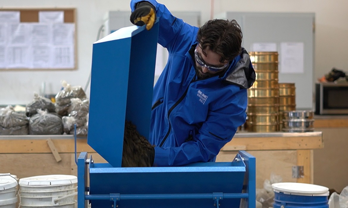
Hybrid Technicians
Hybrid Crews are a potential solution that can save money and prevent downtime by combining the skills of a Surveyor and Materials Technician (soil and compaction work only). This streamlined approach ensures efficiency without compromising the quality of the work performed.
-
Benefits of a Hybrid Technician:
- Improved Service Delivery: A single source for QC activities improves communication and continuity.
- Cost Efficiency: Combined skillsets lower client costs without sacrificing quality.
- Labour Optimization: Multi-skilled technicians reduce downtime and increase flexibility.
- Reduced Headcount: Fewer people on site means improved safety and lower overhead.
Geomatics Projects
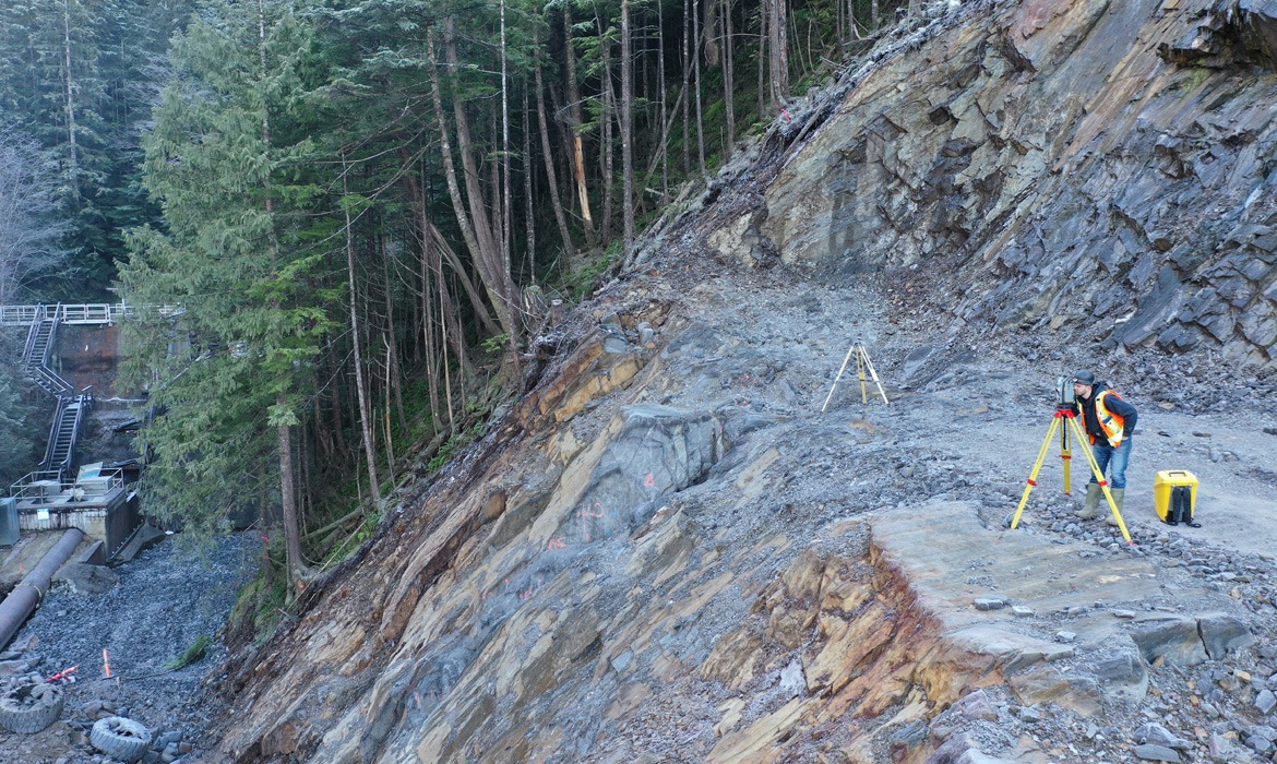
Woodworth Dam Replacement Project
The Woodworth Dam Replacement Project is a major water infrastructure initiative undertaken by the City of Prince Rupert to replace the original dam structure built in 1912.
Learn More
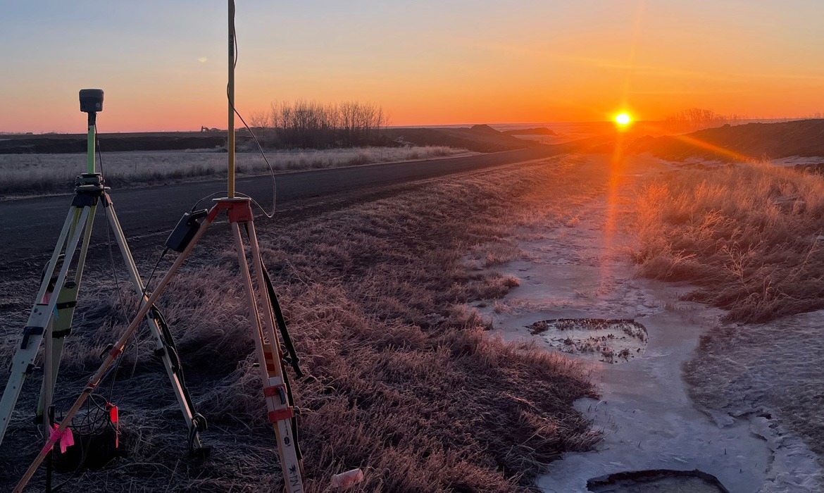
BHP CN Spur Line
The CN Jansen Rail Spur was a major infrastructure development located approximately 140 km east of Saskatoon, Saskatchewan. This 47 km rail line connected the Joint Access Spur (JAS) near the Village of Jansen to the CN Watrous Subdivision east of the Town of Nokomis.
Learn More
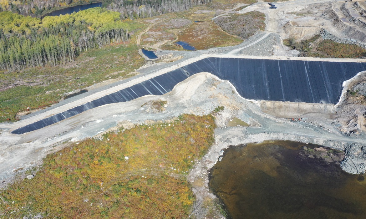
Magino Gold Mine
The Magino Gold Project is a large-scale open-pit mining operation situated in Ontario, Canada, and is fully owned by Argonaut Gold.
Learn More